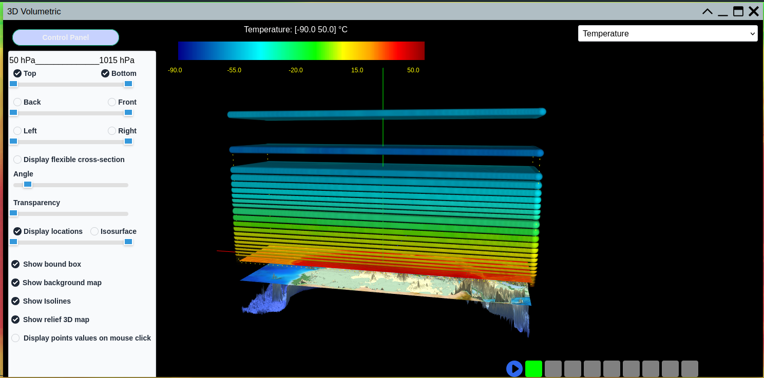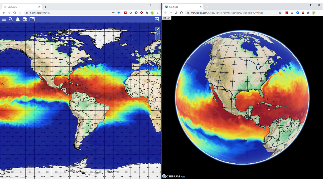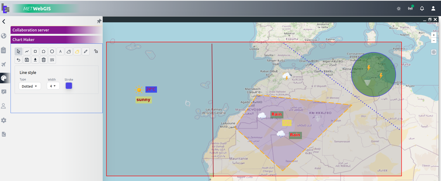
An innovative 3D Volumetric module for rendering and interactively displaying atmospheric data in its real three-dimensional and temporal environment.
The 3DV-Cube allows users to render and interactively display, pan, zoom, rotate and pivot a selected column of 3D atmospheric information. Users can perform surface cross-sections and animations in time to appreciate local and varying weather situations at any location and altitude.
It is particularly powerful for analyzing volumetric atmospheric data from Numerical Weather Prediction models, radar networks and other 3D data sources, providing forecasters and meteorologists with tools that go far beyond traditional 2D map display.
Render and interactively display a selected column of 3D atmospheric information. Pan, zoom, rotate and pivot through volumetric weather data with ease.
Perform surface cross-sections through any axis of the 3D data cube to reveal internal atmospheric structures and vertical profiles at any point.
Animate weather data through time in full 3D — appreciate how local and regional weather situations evolve across time within the volumetric environment.
Render Numerical Weather Prediction model outputs in gridded point value or symbol, isolines and isosurfaces for precise quantitative analysis.
Easy-to-use quantitative and information-retrieval tools to enhance qualitative visualizations with precise data values at any 3D location.
The 3DV-Cube is designed for professionals who need to go beyond traditional 2D map displays and work directly with volumetric atmospheric data.
The 3DV-Cube module can be added to an existing WebGIS deployment or accessed as a standalone cloud-hosted service.
Add the 3DV-Cube module to your existing on-premise WebGIS installation. Full control over data and configuration.
Subscribe to a monthly cloud-hosted service. No hardware required — access 3DV-Cube from any browser, anywhere.
Contact us to request a live demo or to learn how 3DV-Cube can be integrated into your existing WebGIS environment.