A certified aviation weather information system — delivering SADIS-compliant flight briefing, weather product generation and distribution via standard web browser.
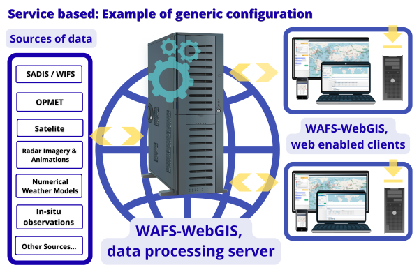
It operates as a web application hosted on central servers, enabling users to access data, generate custom weather flight folders, and save or print outputs using only a standard web browser — no special software installation required.
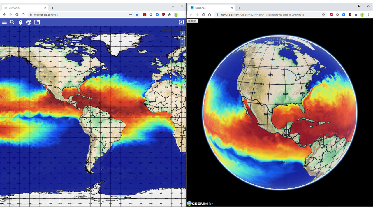
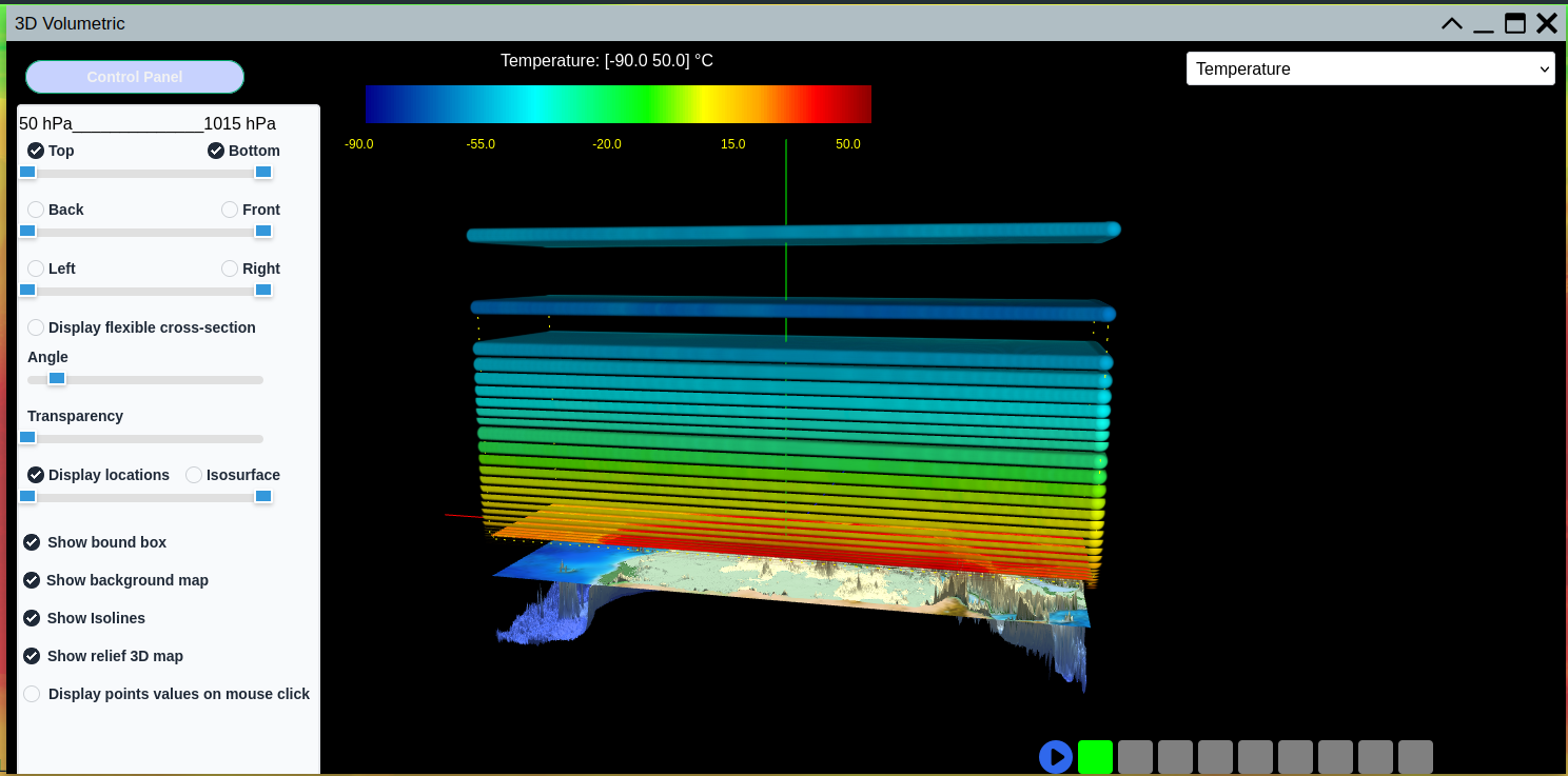
As a separate module, WAFS-WebGIS also features an add-in 3D volumetric cube and globe for visual analysis, and can integrate other data sources such as satellite and radar imagery and lightning data.
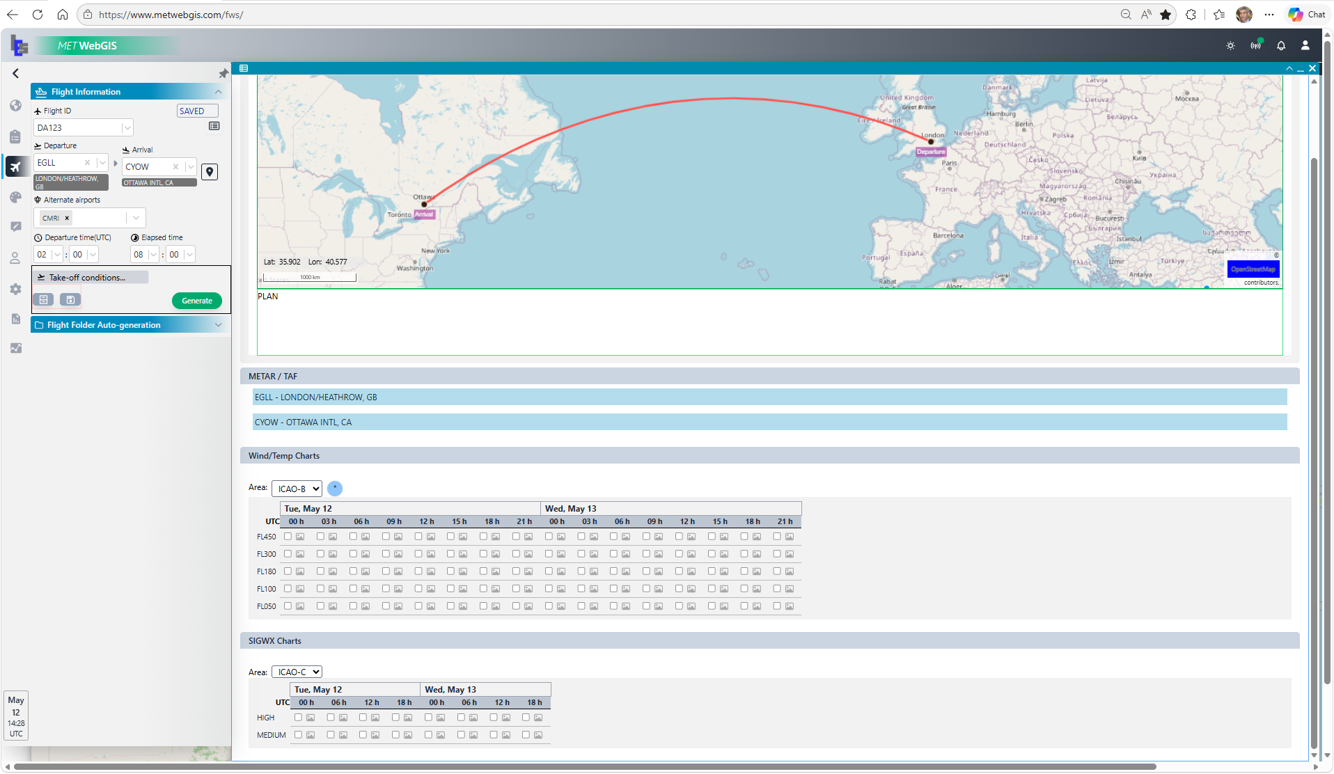
Designed specifically for pilot flight weather briefing. It provides easy access to critical aviation weather products, including up-to-date weather conditions for flight take-off and forecast for en-route conditions.
Pilots can plan, store and manage multiple flight routes with ease, all in one centralized location. Equipped with integrated mapping tools, automated flight folder generation and easy sharing options — it is the pilot's all-in-one briefing tool for safe and efficient flight operations.
Direct integration with both SADIS and WIFS, ensuring seamless access to WAFC London and WAFC Washington WAFS products. Fully compliant with the UK Met Office SADIS FTP Workstation Software Evaluation Criteria, delivering reliable, standards‑based interoperability across global aviation meteorological networks.
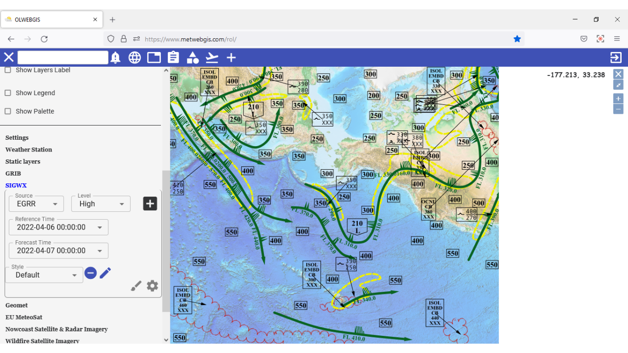
IWXXM data decoded to deliver T4‑equivalent significant weather views with precise structural detail. GRIB2 fields rendered as raw data, contour maps, wind barbs or arrows, including vertical cross‑section displays for deeper atmospheric insight.
PNG charts viewer for WAFS T4 charts with zoom, rotate, crop, annotate and print functions. Skew-T and Hodograph applications for UPPERAIR data display.
TAF, METAR and SIGMET retrieved, decoded and displayed in tabular and graphical formats. Generates automatic warnings for specified conditions.
Complete visibility into system performance, metric monitoring, anomaly detection and real-time alerts to address potential problems before they impact operations.
Supports the new IWXXM format introduced by ICAO on SADIS and WIFS. Handles seamless decoding, ingestion, and display.
Choose the deployment model that best fits your organization's needs.
The customer hosts the server and manages data locally on their own infrastructure. Full control over data and security.
Subscribe to a monthly service hosted in the cloud. No hardware required — access from any browser anywhere.
In 2025, IES and partner New Edge Solutions Ltd. deployed WAFS-WebGIS for the Kenya Meteorological Department across 10 airports.
WAFS-WebGIS successfully operationalized by the national weather services of Cuba and Somalia for aviation meteorology operations.
IES aviation weather systems deployed in Hong Kong, Venezuela, Brazil, Somalia, Kenya, Canada, Brunei, Bahrain, Korea, New Caledonia, Malta, Morocco, Algeria and India.
Contact us to request a live demo, SADIS certification details or purchase information for your organization.