Stay up to date with IES project completions, new contracts, product upgrades and company announcements.
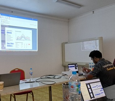
In December 2025, IES and HYDS successfully completed the Site Acceptance Tests (SAT) of their fully Integrated Forecasting Platform (IFP) and Early Warning System for the Tonga Meteorological Service (TMS). Built on IES's Met-WebGIS platform and Argos from HYDS, the system represents a major advancement in Tonga's national forecasting and warning capabilities.
The integrated platform provides forecasters with a single, intuitive environment to seamlessly access, visualize, and analyze diverse meteorological data sources — including in-situ observations, remotely sensed data and Numerical Weather Prediction (NWP) model outputs. It enables the rapid dissemination of high-quality forecasts and warnings to government authorities, media, aviation, marine users, and the general public.
Beyond weather services, the platform also strengthens national resilience by supporting the rapid dissemination of tsunami warnings and volcanic information, helping protect lives, infrastructure, and livelihoods.
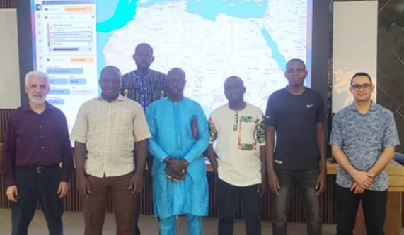
IES was awarded a WMO contract in January 2025 for a complete data integration, visualization, surveillance and weather forecasting system for the Agence Nationale de la météorologie (ANAM) in Burkina Faso. The SAT and user training were successfully completed in November 2025 — fully operational and on schedule.
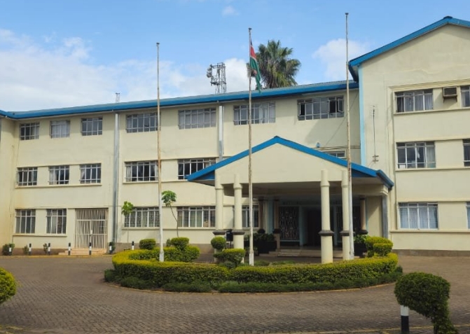
In collaboration with partner New Edge Solutions Ltd., IES was awarded a contract to supply a SADIS and Aeronautical Meteorological Online Pre-Flight Web-Based Briefing System for the Kenya Meteorological Department. Built on WAFS-WebGIS and installed at 10 airports across Kenya — FAT completed in June 2025 at IES head office in Montreal.
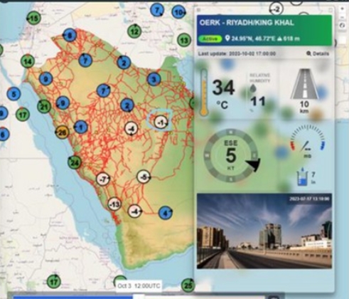
Saudi Arabia is deploying a state-of-the-art monitoring system featuring 600 AWS stations, mobile LIDAR sensors and IES WebGIS for real-time data acquisition, processing and intelligent alerting. A dedicated mobile application will provide the public with real-time route mapping and dust condition visibility across the kingdom's major highways.
Working with partner Nudhum, IES is delivering an Aircraft Meteorological Data Relay (AMDAR) system for the NCM of Saudi Arabia. The system captures and transmits meteorological data from aircraft platforms — including Saudi Arabian Airlines (Saudia) — encoding it into WMO AMDAR format and WMO BUFR bulletins for NWP model integration and real-time display.
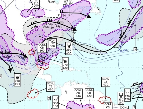
IES is upgrading its WebGIS platform to support the latest WMO and ICAO standards. The new version delivers support for the WMO Information System (WIS 2.0), the ICAO Meteorological Information Exchange Model (IWXXM), improved Flight Folder functionality for aviation users, and enhanced user management features across the platform.
IES participated in the Met Tech 2025 Conference in Vienna, Austria, showcasing its latest WebGIS software products and systems integration capabilities to an international audience of meteorological and environmental monitoring professionals. The conference provided a key opportunity to connect with national weather services and international organizations from around the world.
Contact us to learn more about our latest projects or to discuss how IES can help your organization with meteorological systems and software solutions.