An interactive 3D globe for exploring multi‑source weather and GIS data anywhere in the world, combined with an advanced 3D volumetric engine that renders atmospheric information in true spatial and temporal context.
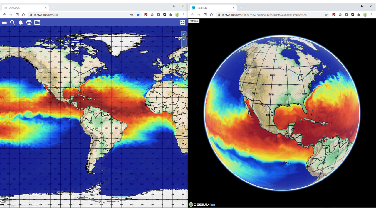
Users can interactively pan and zoom to any location in the world, with the globe intelligently presenting the most important details at each zoom level — eliminating clutter while keeping critical information visible.
The 3D-Globe is ideal for national weather services, research institutions and global monitoring agencies that need a broad situational awareness view of atmospheric conditions across large areas and multiple continents simultaneously.
Smart display logic eliminates clutter by presenting the most important details first, with deeper information available on demand as users zoom and explore.
Easy-to-use 3D navigation and manipulation over the globe. Pan to any region, zoom into any location and rotate the globe with intuitive controls.
Details on demand — eliminates cluttering by presenting the most important information at each zoom level, with finer details revealed as users zoom into specific regions.
Integrates relevant data from multiple sources in a combined display — for example, weather data overlaid with terrain, GIS thematic layers and observation networks.
Supporting animation of rendered products showing changing weather information in time — watch global weather systems evolve across hours and days.
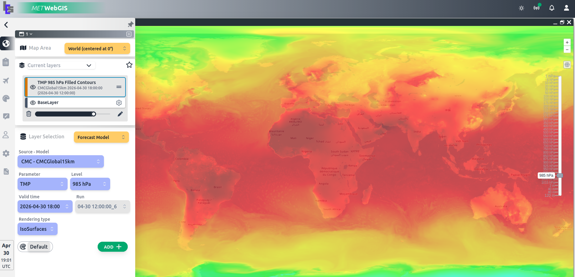
Rendering of Numerical Forecasting Model outputs in gridded point value or symbol, isolines and isosurfaces displayed globally on the interactive globe.
Easy-to-use quantitative and information-retrieval tools to enhance qualitative visualizations — retrieve precise data values at any point on the globe.
The 3D-Globe is designed for professionals who need a broad situational awareness view of global or regional weather conditions.
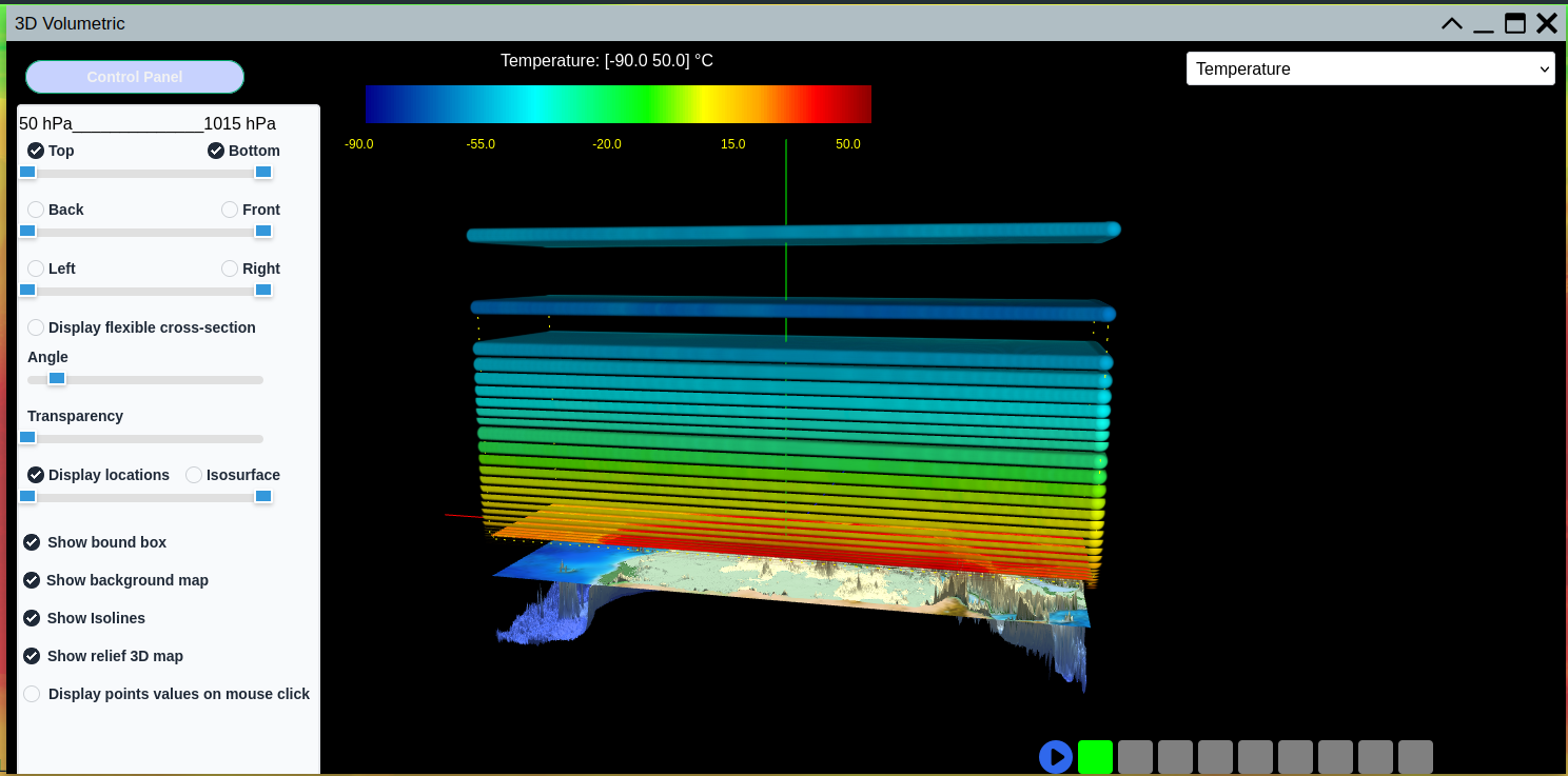
The 3DV-Cube allows users to render and interactively display, pan, zoom, rotate and pivot a selected column of 3D atmospheric information. Users can perform surface cross-sections and animations in time to appreciate local and varying weather situations at any location and altitude.
It is particularly powerful for analyzing volumetric atmospheric data from Numerical Weather Prediction models, radar networks and other 3D data sources, providing forecasters and meteorologists with tools that go far beyond traditional 2D map display.
Render and interactively display a selected column of 3D atmospheric information. Pan, zoom, rotate and pivot through volumetric weather data with ease.
Perform surface cross-sections through any axis of the 3D data cube to reveal internal atmospheric structures and vertical profiles at any point.
Animate weather data through time in full 3D — appreciate how local and regional weather situations evolve across time within the volumetric environment.
Render Numerical Weather Prediction model outputs in gridded point value or symbol, isolines and isosurfaces for precise quantitative analysis.
Easy-to-use quantitative and information-retrieval tools to enhance qualitative visualizations with precise data values at any 3D location.
The 3DV-Cube is designed for professionals who need to go beyond traditional 2D map displays and work directly with volumetric atmospheric data.
The 3D-Globe module can be added to an existing WebGIS deployment or accessed as a standalone cloud-hosted service.
Add the 3D-Globe module to your existing on-premise WebGIS installation. Full control over data, security and configuration.
Subscribe to a monthly cloud-hosted service. No hardware required — access 3D-Globe from any browser, anywhere in the world.
Contact us to request a live demo or to learn how 3D-Globe can be integrated into your existing WebGIS environment.