Commercial Services

IES delivers weather intelligence, decision support systems and environmental monitoring solutions to commercial industries that depend on accurate, timely meteorological information.

Sector 01

Aviation

IES developed the WebGIS package as a generic viewer and handler of geographical information-based data for environmental applications. Configured as a Decision Support System for weather aviation assistance, it operates as a fully web-based three-tier client/server application — no proprietary software installation required on the end-user workstation.

Our aviation weather products cover the full range of aeronautical meteorological data — from SADIS-sourced WAFS charts and BUFR/GRIB fields to OPMET bulletins, TAF, METAR and SIGMET — displayed in tabular and graphical formats with automated alerting for user-specified conditions.

  • WAFS-WebGIS: UK-Met SADIS FTP workstation certified
  • Met-WebGIS: meteorological data integration and processing platform
  • 3D-Globe module with GRIB wind animation and parameter overlay
  • Flight Plan Module for route weather briefing and folder generation
  • METAR, TAF, SIGMET, AIRMET in TAC, XML and IWXXM formats
  • IWXXM data decoded to reproduce SIGWX equivalent charts
  • Vertical cross-section display along a planned route
  • SaaS cloud or dedicated on-premise deployment

IES Aviation Weather Systems
Sector 02

Agriculture

IES provides the agriculture industry with weather and climate information suitable for planning and decision making — site-specific forecasts, real-time observations and historical data that assist growers, farmers and producers in making timely business decisions.

Products of interest include meteorological variables, weather forecasts, historical data archives, customized alerts and warnings, and climate and weather reports — all delivered via a web-based platform accessible from any browser. IES integrates AWS station networks, satellite-derived datasets, NWP model outputs and lightning observations into a single agricultural decision support environment.

  • Site-specific weather forecast and now-cast for field operations
  • Real-time agrometeorological station network monitoring
  • Historical weather data archive access and extraction
  • Customized frost, drought and heat stress alerts and warnings
  • Satellite-derived soil moisture and vegetation index display
  • Irrigation scheduling decision support
  • Seasonal outlook and climate report generation
  • Lightning and severe weather alerting for field safety
IES Agriculture Weather Services
Sector 03

Energy

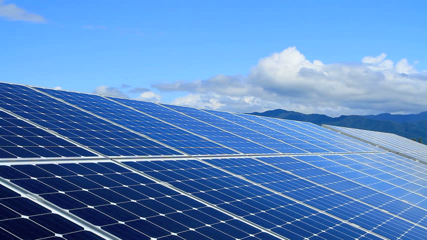
Energy & Utilities Custom Weather Services (CWSs) represent a powerful tool for the energy and utility industry — providing prompt, accurate short-term now-casting and forecasting so companies can effectively make decisions in power generation, transmission, distribution planning and unplanned disruptions.

Information provided by IES Energy CWSs increases operational efficiency by enabling corrections to electricity demand predictions, protecting infrastructure, managing assets and supporting market transaction decisions. Our platform integrates solar irradiance sensors, wind profilers and NWP model outputs into a unified energy weather dashboard.

  • Accurate now-casting for power generation and transmission decisions
  • Solar irradiance monitoring: GHI, DNI and DHI product generation
  • Wind speed, direction and shear profiling at turbine heights
  • Short-range and day-ahead renewable energy production forecasting
  • Electricity demand prediction correction and market transaction support
  • Severe weather alerting for grid and infrastructure protection
  • Asset management and energy savings weather intelligence
  • Integration with EKO, Lufft and Radiometrics instruments
IES Energy Weather Monitoring
Sector 04

Insurance & Financial

IES weather systems assist the banking, financial and insurance sectors in assessing weather impact across lending, asset management, property & casualty, and life & annuities — with primary focus on agricultural insurance companies that play a decisive role in protecting farmers.

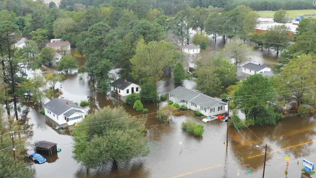
With IES Custom Weather Services, financial and insurance companies can better assess the provision of insurance protection and financial benefits to farmers against adverse weather incidence — including deficit and excess rainfall, extreme temperatures, humidity, flooding and drought. Our certified historical weather data systems provide the independently verifiable records that parametric products require.

  • Agricultural insurance weather assessment and verification
  • Adverse weather event monitoring: rainfall, temperature and humidity extremes
  • Historical weather archive access for claims processing
  • Parametric trigger index data feeds (wind, precipitation, temperature)
  • Multi-hazard monitoring: flood, hail, lightning, drought
  • Geospatial event footprint mapping for loss adjustment
  • Data export in standard formats for actuarial integration
  • Custom weather reporting for policy documentation
IES Insurance and Financial Weather Services
Sector 05

Recreation & Entertainment

IES Custom Weather Services provide weather now-cast and forecast to media agencies and the recreation industry on an hourly, daily, weekly and yearly basis — so that broadcasters, organizers, logistics operators and the general public can plan and prepare for day-to-day activities and special events of any scale.

From broadcast-ready 2D and 3D weather visualizations to animated forecast products for digital and social platforms, IES delivers the visual quality and data accuracy that professional media weather demands. Our WebGIS platform and 3D-Globe module provide media producers with compelling, technically accurate displays accessible from any production workstation.

  • Hourly, daily, weekly and seasonal weather now-cast and forecast
  • Broadcast-quality 2D weather map and overlay generation
  • 3D-Globe interactive display for on-air and digital use
  • Animated forecast products and time-loop animations
  • Event weather planning for organizers and logistics operators
  • Public-facing weather portal and web publishing tools
  • Customizable map backgrounds, colour palettes and branding
  • High-resolution image and PDF export for print and broadcast
IES Recreation and Entertainment Weather Services

Ready to Put Weather Data to Work?

Contact us to discuss your sector's requirements or request a live demonstration of any IES commercial weather solution.

Back To Top