HazMet100 Portable SAM
Key Benefits
- Man-portable — deploy anywhere within minutes, no site preparation needed
- Integrated GPS (3 m accuracy) for precise geolocation of every observation
- Ultrasonic wind sensor — no moving parts, reliable in all conditions
- Solid-state temperature and pressure sensors for long-term stability
- Ideal for hazmat response, military, field research and emergency operations
- Operates independently of fixed infrastructure — fully self-contained
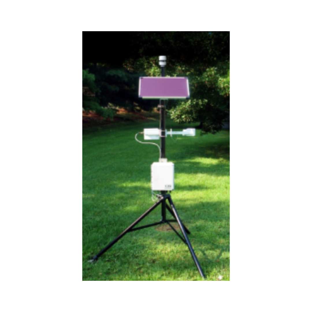
Five Sensors — One Portable Unit
Every sensor in the HazMet100 is selected for accuracy, reliability and suitability for field conditions — from calm laboratory environments to active incident scenes.
Wind Speed
UltrasonicReliable measurement in rain, dust and extreme conditions. Covers tropical storm wind speeds for emergency response use.
Air Temperature
Solid-StateSolid-state sensing delivers stable, drift-resistant temperature readings without the maintenance requirements of traditional thermistors.
Relative Humidity
CapacitiveCapacitive humidity measurement across the full 0–100% RH range for dew point calculation and atmospheric stability assessment.
Barometric Pressure
Solid-StateHigh-accuracy solid-state pressure sensor for altimeter setting, weather analysis and atmospheric dispersion modelling support.
GPS Position
Integrated GPSEvery observation is automatically geotagged with 3 m GPS accuracy — enabling precise spatial mapping of atmospheric conditions across an incident area.
Primary Specifications
Built for the Field
The HazMet100 is engineered from the ground up for rapid, flexible deployment in environments where fixed weather stations cannot be installed or where conditions are too unpredictable to rely on stationary infrastructure.
Rapid Deployment
Set up and collecting data in minutes — no site preparation, cabling or network infrastructure required.
GPS-Tagged Data
Every measurement is automatically geolocated — enabling atmospheric mapping across multiple deployment points.
No Moving Parts
Ultrasonic wind technology means no cups or vanes to break, clog or require calibration in the field.
Relocatable
Move the station as an incident evolves — continuous monitoring without committing to a fixed location.
Where the HazMet100 Is Deployed
Wherever accurate, geolocated atmospheric data is needed immediately and a fixed station is not an option, the HazMet100 delivers.
Hazmat Incident Response
Provides first responders with real-time wind speed and direction for plume modelling and evacuation zone decisions during chemical, biological or industrial incidents.
Tactical Wildfire Operations
Deploy at the fire perimeter or in advance of a fire front to track wind shifts and atmospheric conditions that drive fire behaviour and crew safety decisions.
Military & Defence
Portable atmospheric sensing for forward operating locations, artillery meteorology, CBRN assessment and tactical weather support where fixed infrastructure is unavailable.
Search & Rescue
Real-time local weather data for SAR coordinators — supporting helicopter operations, sea state assessment and personnel safety during complex rescue operations.
Field Research
Compact, accurate atmospheric measurement for environmental scientists, hydrologists and meteorologists conducting surveys at remote or temporary field sites.
Disaster Assessment
Rapid post-disaster atmospheric monitoring in areas where permanent infrastructure has been damaged or destroyed, supporting recovery and reconstruction operations.
Deploy Scenarios
Field Data into WebGIS
HazMet100 observations — automatically geotagged with GPS coordinates — can be ingested into the IES Met-WebGIS platform, allowing field measurements to be displayed geospatially alongside fixed station networks, NWP model outputs and satellite imagery.
This makes the HazMet100 a powerful complement to fixed AWS infrastructure — filling spatial gaps during incidents, surveys or events where permanent station coverage is insufficient.
- GPS-tagged observations mapped automatically in Met-WebGIS
- Field data displayed alongside fixed station networks
- Wind and atmospheric conditions overlaid with NWP model outputs
- Supports multi-unit deployment for area-wide atmospheric mapping
Part of the OSI Instrument Family
The HazMet100 complements OSI's broader range of atmospheric measurement instruments — from fixed AWOS systems and precision visibility sensors to portable field units — giving IES clients a complete spectrum of meteorological sensing solutions for any operational context.
Ready to Deploy Atmospheric Sensing Anywhere?
Contact IES to discuss the HazMet100 for your emergency response, field research or military application, or to request a full technical datasheet.