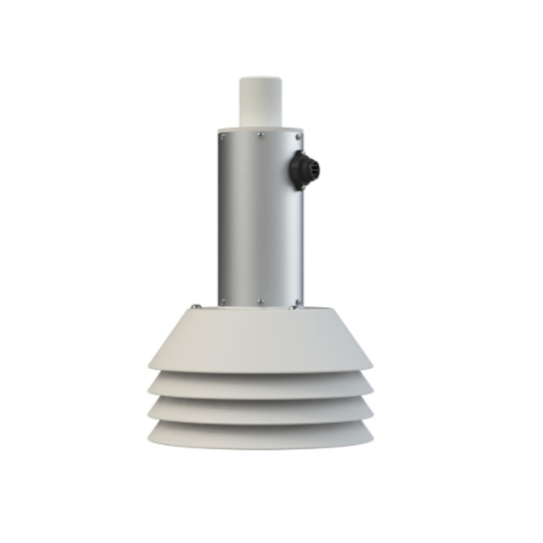
011d TBAR Ultrasonic Hydrometric Sensor
Key Benefits
- Non-contact measurement — no submersion or water contact required
- 1 mm resolution for precise hydrological monitoring
- Temperature-compensated accuracy across the full operating range
- No moving parts — long-term, low-maintenance field deployment
- Suitable for rivers, reservoirs, canals, weirs and flood gauges
- Compatible with SIAP+MICROS dataloggers and telemetry systems
Key Specifications
Measurement Range
Model-dependent range from 0.5 m up to 10–12 m — covering shallow gauge boards through to large reservoir monitoring.
Accuracy
±0.25% to ±0.5% of full scale with temperature compensation — meeting WMO hydrological observation standards.
Resolution
1 mm or better resolution — capturing subtle water level changes critical for flood forecasting and stage-discharge rating.
Temperature Compensation
Automatic temperature compensation corrects for acoustic velocity variation — maintaining accuracy across seasonal and diurnal temperature cycles.
Technical Specifications
Advantages of Ultrasonic Level Sensing
Non-contact ultrasonic measurement offers significant operational and accuracy advantages over traditional float, pressure and shaft-encoder gauges in demanding hydrological environments.
No Fouling or Clogging
No sensor submersion means no risk of debris, sediment, ice or biological fouling affecting measurement — critical in rivers carrying high sediment loads.
Minimal Maintenance
No float cables, counterweights or submerged electronics to inspect, clean or replace — significantly reducing site visit frequency and operational cost.
Fast Response to Rapid Changes
Ultrasonic pulse-echo measurement responds immediately to sudden level changes — essential for flash flood detection and real-time early warning alerting.
Temperature-Compensated Accuracy
Automatic compensation for acoustic velocity changes with temperature maintains the specified ±0.25% accuracy across all seasons and climates.
Where the 011d TBAR Is Deployed
The 011d TBAR suits any application requiring accurate, continuous water level monitoring without submerging sensors in the water being measured.
River Stage Monitoring
Continuous water level measurement at river gauging stations for flow estimation, stage-discharge rating and flood warning trigger management.
Flood Early Warning
Real-time level monitoring at critical river cross-sections feeding directly into flood early warning systems — with SMS and UDP alarm outputs via SIAP+MICROS dataloggers.
Reservoir & Dam Monitoring
Long-range models cover large reservoir level monitoring for water resources management, dam safety inspection programs and hydropower operations.
Canal & Irrigation Networks
Precise level control in irrigation distribution canals and drainage networks — supporting automated gate control and water allocation management.
Weir & Flume Flow Measurement
Accurate head measurement at calibrated weirs and flumes for discharge calculation in hydrological networks and industrial effluent monitoring.
Urban Drainage & Sewer
Non-contact installation above drainage channels and culverts for urban flood monitoring — no confined space entry required for installation or maintenance.
Typical Deployment Environments
Connected to IES Hydrological Systems
The 011d TBAR connects directly to SIAP+MICROS dataloggers — including the e021 MegaSUM — for automated data acquisition, telemetry and alarm management. Water level data feeds into the IES Met-WebGIS platform for geospatial display alongside rainfall, satellite imagery and NWP model outputs.
IES has deployed SIAP+MICROS hydrological sensor networks as part of large-scale flood forecasting and water management systems — including a major deployment across two river basins in India for the Central Water Commission, integrating automated water level sensors with IES data management software.
- Connects to SIAP+MICROS e021 MegaSUM via SDI-12 or RS485
- Data transmitted to IES WebGIS via Modbus TCP, FTP or UDP
- Threshold alarms configured in IES platform for flood alerting
- Historical level data archived for hydrological analysis and reporting
- Compatible with SIAP+MICROS HydroDB database and SCADA software
IES Deployment — India CWC
IES installed a large Water Management and Flood Forecasting System across two major Indian river basins for the Central Water Commission — incorporating automated weather and water level stations with INSAT satellite data transmission and MIKE-11 Flood Forecasting System integration.
Pairs Well With
Monitor Water Levels with Confidence
Contact IES to discuss the 011d TBAR for your hydrological monitoring network, flood early warning system or water resources project.